Specialist Drone Services

Photography

Video & VR360

VERTICAL DRONE

Architecture portraits for the built environment.

Dartford Crossing
2024

Land

Drone surveys for developers and architects, providing multiple aspects & elevations for the creation of 3D Models & CGI.
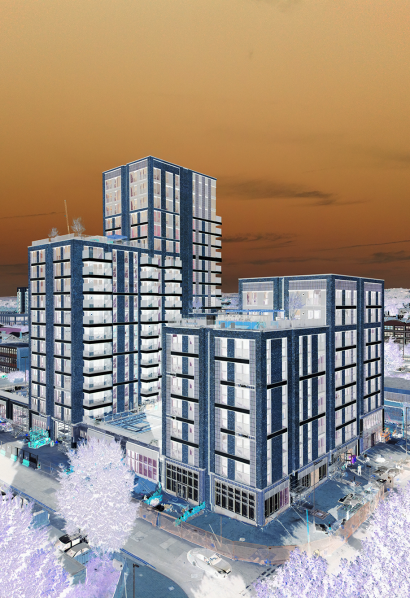
Construction

Aerial surveys & build progress photos & films, to help record works from planning stage through to completion.
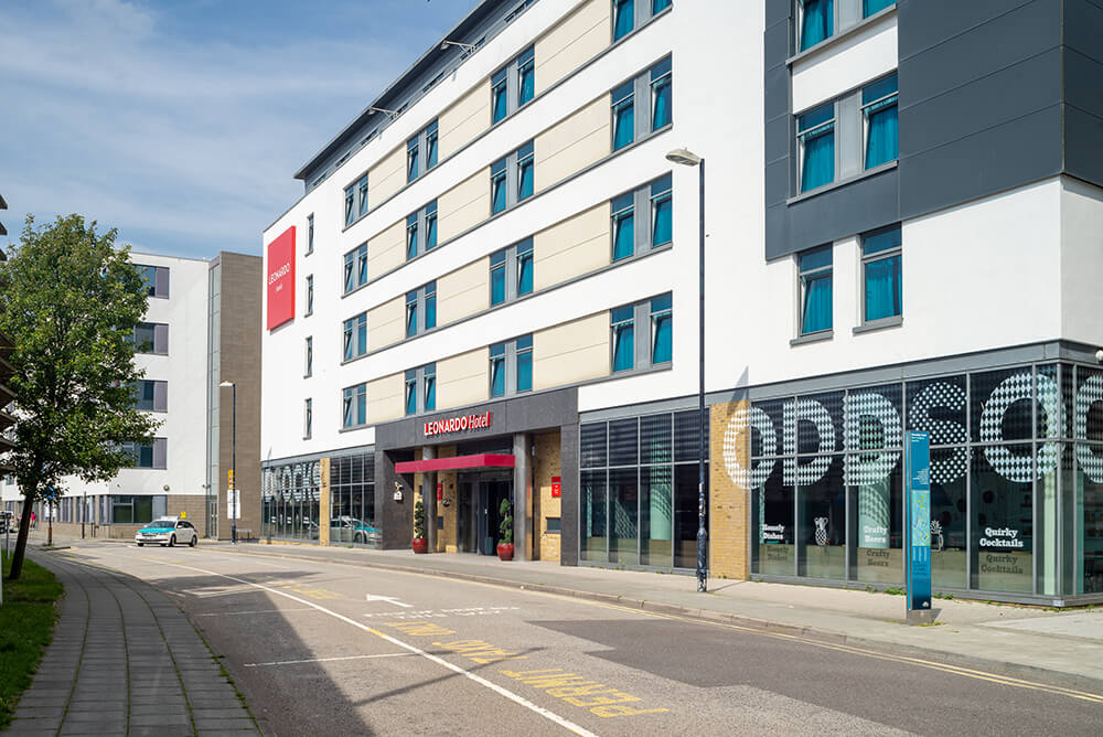
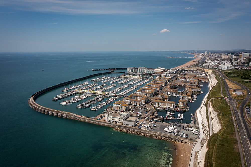
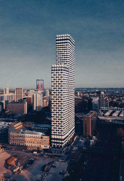
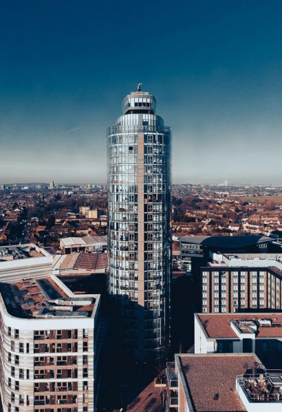
City

Marketing photography on the ground, and in the air by plane & drone, with experience in Central London and restricted flight zones.

Locations

3D maps and models for space and place... large scale venues, shopping centres, leisure and tourism opportunities.
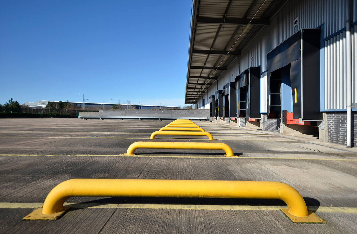
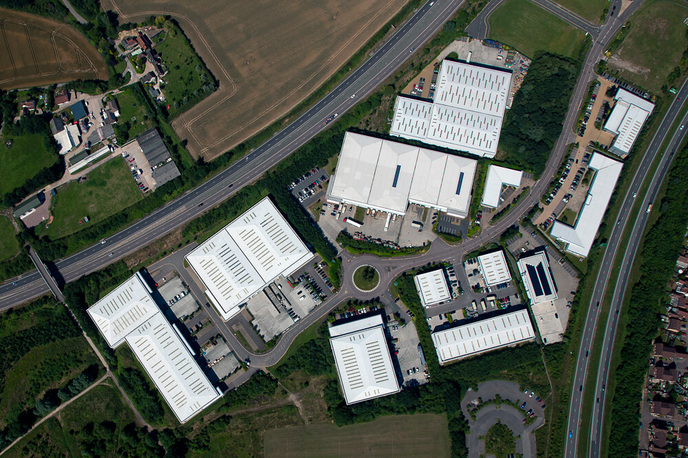
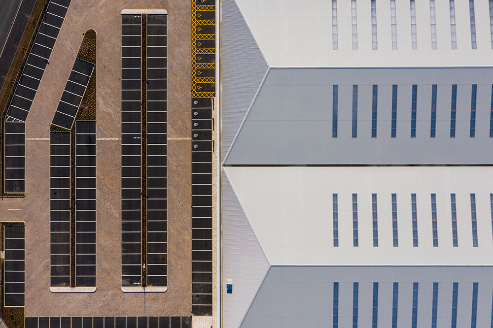
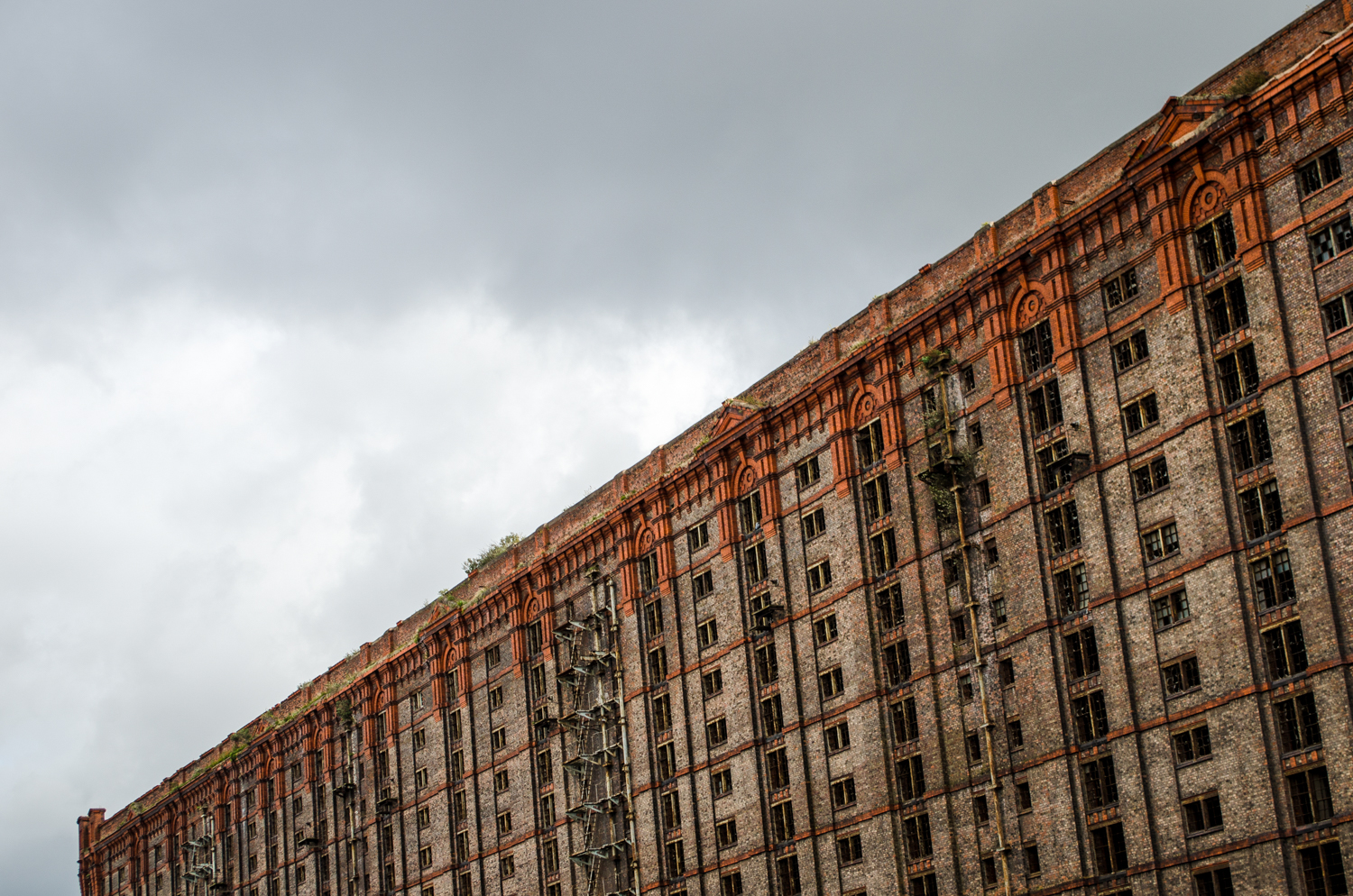
Industrial

From big sheds, to trade counter units & business parks we deliver video fly-through, virtual tours, maps and photos.
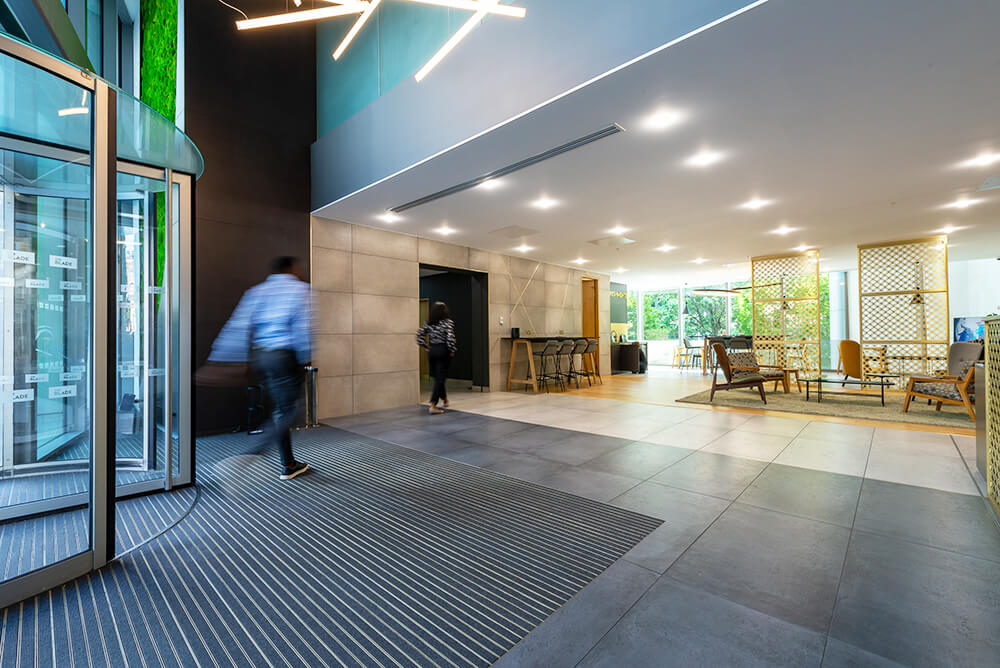
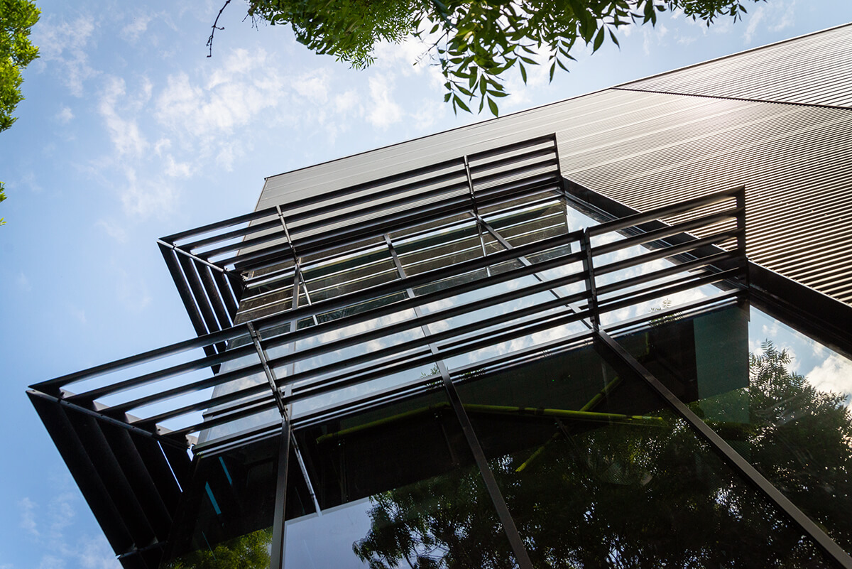
Office

Architectural photography for web, press & investment brochures featuring aerial images by drone, to help survey & sell.

Specialist Drone Services

Over 1000 commercial projects delivered safely and effectively over the last 10 years. From multi-drone film shoots to large scale aerial tours, with top quality aerial cinematography and photography. CAA PDRA Unmanned Aircraft - Operational Authorisation. Specific Category. VLOS. Full Public, Employers, General and Drone Insurance.

Central London & Restricted Areas

Planning, production and delivery of drone shoots in Flight Restriction Zones (FRZ) including West End and City of London. Full permissions process, RAMS, and project management for safe operation and content capture in the capital and near aerodromes.

Aerial Photography

Experienced and specialist aerial photography utilising the latest drone technology for beautiful results. The cornerstone of all campaigns, for survey, marketing and mapping purposes.

Video Production

Full video production from story thru to completion. Planning, filming, editing... including motion graphics for video fly throughs and social promos. All featuring aerial cinematography by drone.

Aerial Virtual Tours

Super wide panoramas, and full 360 VRs, on the ground and in the air. All combined with full aerial virtual tour production, utilising the latest drone technology.

3D Maps & Models

Photogrammetry modelling and mapping using aerial video and photography to build 3D mesh and point cloud. From capture to completion we provide content supply or full 3D build service, in multiple file formats.

CGI - Visualisation

For off plan development, we deliver surveys, photos, videos and 360VR combining data capture and high quality images. All in collaboration with architects, planners and investors, to help fulfill designs and vision.

Aeroplane Vs Drone

Drones cover the airspace up to 400ft, aeroplanes take over from there on up. For really high level imagery we cover all aspects and elevations, including Central London and restricted flight zones, with all relevant permissions.

Keyword suggestion: Building, Residence